Remote Sensing 분야의 Total Solution 을 제공
NEXTMap
Intermap Technologies 사에서 제공하는 높은 품질의 DEM 데이터로서 NEXTMap World 10, NEXTMap World 30 버전이 있다.
NextMap World 10
Utilization of global LiDAR for vertical control
10m LE95 vertical accuracy
Geographic projection
WGS84 horizontal datum
EGM96 geoid
1°x1° tiles
32 bit floating point elevations
File size per 1°x1° cell is ~445MB
Oceans set to 0 meter
Flattened water body surfaces between North 60 degrees and South 56 degrees
Custom data formats and projections available upon request
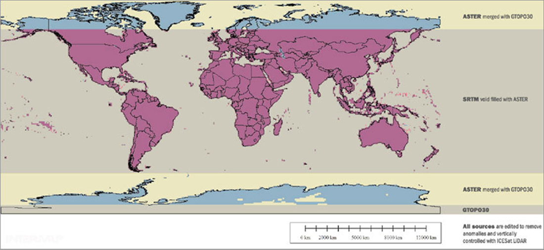
NextMap World 30
Fusion of SRTM, ASTER, GTOPO30, and other data
Utilization of global LIDAR for vertical control
1 arc second postings (~30m)
10m LE95 vertical accuracy
Geographic projection
WGS84 horizontal datum
EGM96 geoid
1°x1° tiles
32 bit floating point elevations
File size per 1°x1° cell is ~50MB
Oceans set to 0 meter
Flattened water body surfaces between North 60 degrees and South 56 degrees
Custom data formats and projections available upon request
[ NEXTMap World 30 구성 ]